
ABP Southampton
Ideally located on the South Coast of England

Close to international shipping lanes and less than 100 miles from mainland Europe
The UK's number one vehicle handling port

Europe's Leading turnaround cruise port

The UK's most productive container port
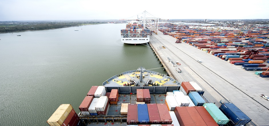
Port of Southampton
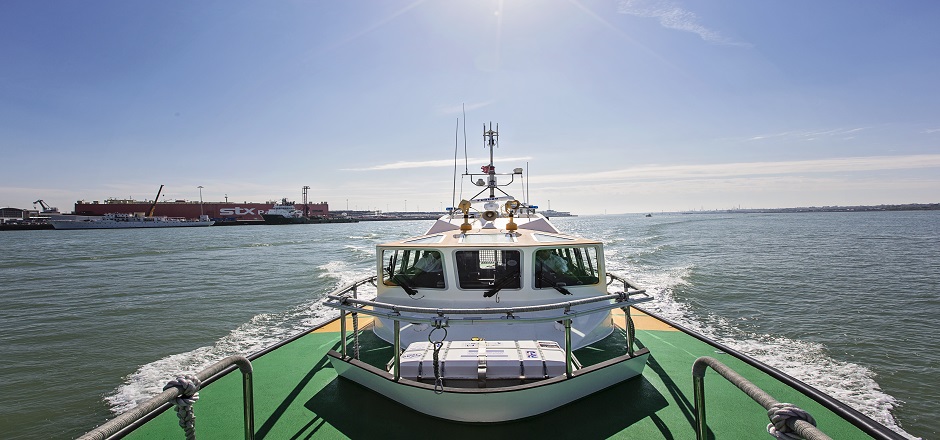
As one of the country’s busiest and most successful deep-water ports, Southampton is a natural choice for a wide range of customers and trades, with facilities to handle virtually any type of cargo. Its natural deep-water harbour and unique double tide allow unrestricted access for the world’s largest vessels. ABP Southampton provides VTS & pilotage services throughout Southampton Water and much of the Central & Eastern Solent.
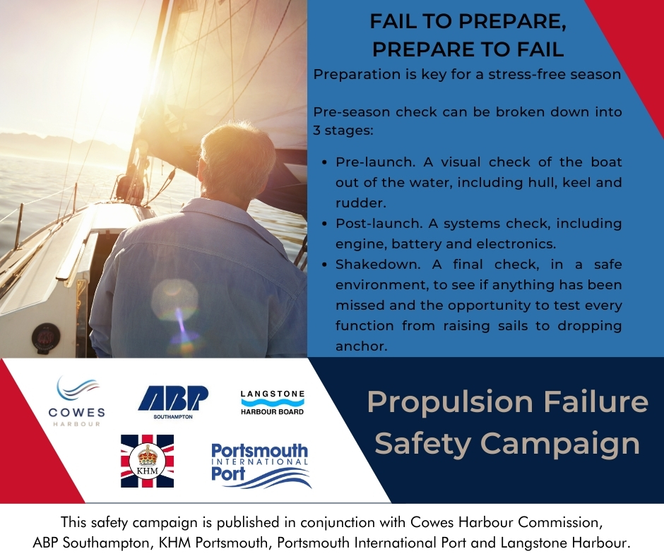
Safety Campaign
If a Personal Watercraft (PWC) including Jet Skis are acting in a reckless and dangerous manner on the water please follow the below procedure:
If lives are in imminent danger:
- Call 999 and request the Marine Police Unit
- Call ABP VTS on VHF Channel 12 or 02380 608208. If the Southampton Patrol launch is available it will be tasked to the area.
- Please report this to VTS at the time and not post event as there will be little ABP can do to assist.
If there is no risk to life:
Report to Hampshire Police on 101 or via their online reporting tool found here.
Personal Watercraft Video released by RYA and RNLI to encourage safe riding
The two organisations have worked in tandem with the Personal Watercraft Partnership (PWP) to curate a bite-size checklist of advice and tips for how personal watercraft (PWC) users can safely make the most of their time on the water.
The video, ‘Top 5 ways to enjoy a day out on your PWC’, includes safety tips for PWC users as well as helpful advice on how to enjoy your time afloat whilst also causing minimal disturbance to other water users and marine wildlife. For further information on personal watercraft safety and RYA training, please visit
ABP Port Estate Safety Rules
Safety, security and safeguarding the environment are key values underpinning the Port of Southampton's activities,
Please follow this link to read the guidence on ABP Port estate safety rules.